HOW TO GET TO MEDINA AZAHARA?
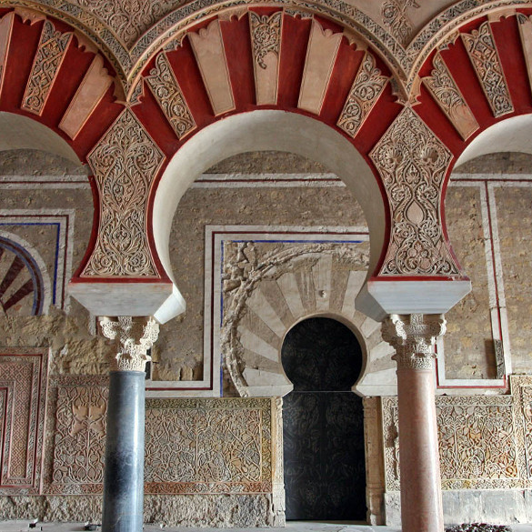
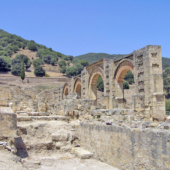
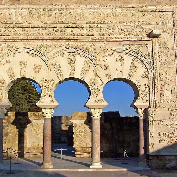
Medina Azahara is located at about 8 kilometers west of Cordoba, in the last foothills of Sierra Morena, in the hill of Yabal al-Arus, in front of the Guadalquivir valley and oriented from north to south, above a spur on the mountain, between two slopes.
Therefore to be able to access the monumental ensemble it will be necessary to arrive to the location by vehicle. Next we detail the alternatives:
IN YOUR CAR
Leaving Cordoba you have to take the Palma del Río (A-431) highway up to the sign of Madinat al-Zahra, by the CO-3414 highway.
The parking of the reception center-museum of Madinat al-Zahra, is located in the first roundabout where you must park the car.
If you wish to use your GPS navigator, the coordinates are: 37° 52′ 50.8″ N 4° 51′ 15″ W. In decimal: 37.880778°-4.854167°
Very important: To arrive to the archaeological site, which is situated 2 km away from the reception center-museum, you have to take the “shuttle bus”, it’s the only authorized transportation in the compound (it departs every 20 minutes).
IN PUBLIC TRANSPORTATION
Bus from Córdoba.- From Tuesday to Sunday at 10:00 a.m. (with return at 1:30 p.m.) or 10:45 a.m. (with return at 2:15 p.m.). Check summer and night schedules from June to September. Check opening Monday.
Departure from Paseo de la Victoria (all information will be sent when making your ticket reservation)
If you want to buy your BUS TICKET + AUDIOGUIDE downloadable on your mobile to make a visit on your own, but with all the information, you can make your reservation here.
Taxi from Córdoba.- Check rates for this round trip.